Summer campaign 2016
In the 2016 summer campaign, the side-by-side survey (K. Winther-Jacobsen, G. Giannakopoulos), the geophysical investigations (W. Rabbel, K. Rusch, H. Stümpel and B. Ullrich) and the aerial photography (S. Müth-Frederiksen) were continued. Moreover, a systematic documentation of architectural structures in the field (P. Foss, T. Roland, Z. Spyranti) was carried out.
In the archaeological survey (Fig. 1), 18 Danish and Greek students divided into three teams carried out the field-work and the daily processing of the finds (supervised by V. Oikonomou). Gaps remaining from the 2015 season were closed, and at the end of the campaign, a total of approximately 10% of the whole research area had been covered by the survey. The overall distribution pattern reveals a strong spatial logic (Fig. 2). Finds date from the Late Neolithic/Early Bronze Age to Pre-modern period, but the Classical period is strongly represented particularly in the south-western corner of the survey area, which is also where the high densities are consistently located. Apart from the field work, preparations for the coming publication were started.
")
")
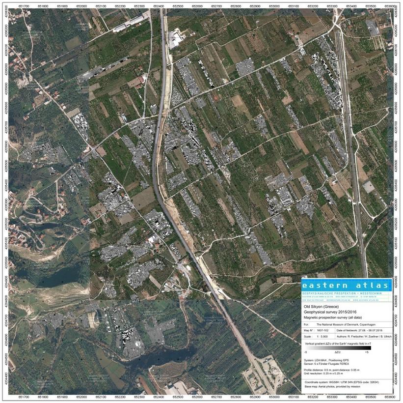
Geophysical investigation again comprised geomagnetic survey by Eastern Atlas (Fig. 3) and electrical resistivity, seismic and georadar surveys by the team of Kiel University (Fig. 4). The geomagnetic survey was extended to the areas south of the plateau, directly east of the plateau and to the northern area of the plain; furthermore, magnetic measurements in the area of 2015 were intensified (Fig. 5). In this way, the limits of the settled area of Old Sikyon could be defined in the north-west, north, south and south-west and more indications for the street grid could be gathered. In the north-western area, the location and extent of a necropolis was established and a 2-3 m wide wall running through it was found, which might have been part of the city’s defences in one of its phases. South of the plateau, no clear traces of well-structured settlement were found, but an industrial area may have been located here, as is also suggested by other evidence in the fields and the closeness of the river.
")
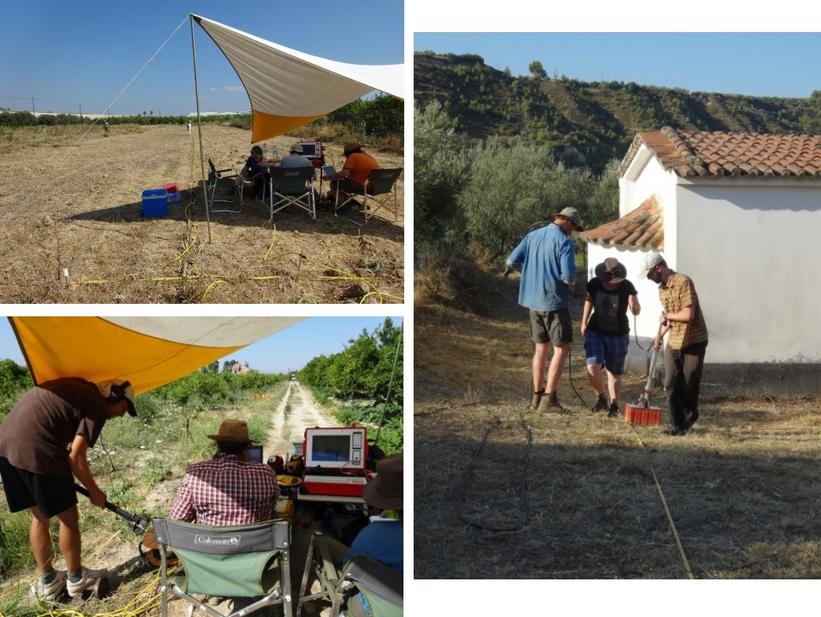
The resistivity, seismic and radar surveys (Fig. 4) of anomalies already found with geomagnetic prospection in 2015 indicated a major public or cultic building in the area east of the southernmost spur of the plateau and a structure with five parallel walls a bit further north. Close to the northern limit of the settled area, two different regular settlement patterns with clear building structures were discovered and an anomaly in between, which probably represents the foundation trench of a fortification wall that was torn down when the city was extended beyond. Meanwhile close to the southern border of the city, a complex structure was detected, which might be related to a part of the city wall with attached buildings. Seismic investigations in the assumed harbour area await long-term processing.
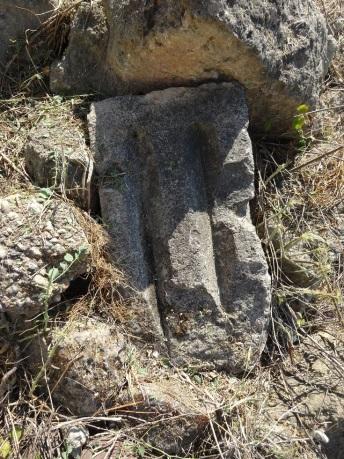
As for architectural structures, the most interesting find was a pile of ancient blocks located to the south of the plateau, which originally belonged to at least two different monuments and were reused as spolia. The size of some of these blocks, like e.g. a huge triglyphon (Fig. 6), indicate a very large building, most probably of cultic origin. The most important of these blocks were drawn.
The continued, intensive, multi-disciplinary research in 2016 represents a huge step forward in our knowledge about the topography and geomorphology of Old Sikyon. We are now able to trace the limits of the settled area, we have an idea about the function of certain extra-urban areas, and have plenty of indications about the infrastructure of the city in the form of street grids, several parts of the city-wall and major buildings and in one case also about the development of settlement structures in successive phases.